Lives saved
2

Hiking

Forest

Mountain

Weather
Wind
ResQLink Saves a Trip from Going Bad to Worse
-40.8266698°S, 175.3962769°E
Posted on March 3, 2022 by Caleb Smith
What happened?
Baldy and Back – It’s Just a Day Trip
I originally caught the tramping bug from my father and my older brother. My Dad, a keen tramper in his youth and long-serving Scout leader in Ngaio, would take my brother and me into the Orongororos, often for small tramps and day walks. As we got older we’d annually head to Nelson Lakes for longer trips. At 13 I was shipped off to boarding school in the Wairarapa. In my second year there, with the guidance of a couple of teachers, me and a few buddies started hitting the Tararua hills. They weren’t big trips, but they were a taste. And I was hooked.
That was 1990 and it was the beginning of my love affair with the Tararua Ranges. After college and during my early years at university study took over and I rarely headed in. That was until I met Emma at Design School; she was a keen tramper, cyclist, and climber and worked at legendary Wellington outdoor store Mainly Tramping. Emma is now my wife. We began heading into the hills together and had some fun trips. Between hitting the ranges with Emma and an old high school buddy, it was an intense few years, knocking off some epic multi-day tramps and a ton of huts.
All told, leading up to my recent disastrous trip, I reckon I’ve been on at least 60 trips to the Tararuas over the past 30 years. I’ve had all the weather – the high winds, the sideways rain, the snow, and most often, the clag -hell I’ve even had a little bit of sun over the years.
Leading into the weekend of 11-12th September I had asked friends (and family) to join me on a Sunday day trip to Baldy on the eastern side of the Tararua Range. Not getting any takers, I planned to go by myself. No stranger to solo trips in the Tararuas, I wasn’t worried about being alone, actually, I wouldn’t really be alone, I’d have our family’s beloved two-year-old dog, Olive, with me. She’d been on a 1080 imposed break from tramping and this would be her first walk in the hills in four months. On Friday I checked the NIWA Parks Forecast and saw that wind gusts as high as 165km were forecast for the tops over the weekend. They were coming from the North-West so I wasn’t too worried as Baldy sits at 1,384m on the eastern side of the ranges, a few hundred meters lower than the tops.
I filled out the intentions book at Holdsworth lodge with “Baldy and back”, and set off with Olive on the true river left of the Atiwhakatu Stream. There was a ton of fresh tree fall on my route, I’d been here just six weeks prior and it was quite a bit slower across the flats navigating around the large fallen trees. I reached the summit of Pinnacle and then made quick work of Pinnacle Ridge on my way to the Barton and Baldy Track intersection. The climb up to the bush line below Baldy is classic steep Tararua terrain and took us only a few minutes longer than the posted one-hour time. I was moving pretty quickly, and after having lunch with Olive at the bush line we quickly pushed on to the top of Baldy. The weather wasn’t great but we had views of jumbo Hut, sitting at the top of Rain Gauge Spur. By the time we reached the summit of Baldy, it was more claggy but the recently stacked cairns and the route was still very obvious.
I’d told Emma that the trip was Baldy and back. When I reached Baldy though, I was a little ahead of time. I’d been walking for just under four hours and I knew from recent trips that it was only three and half hours back to the car from the bush line. “What the hell,” I thought, let’s head up and grab the South King summit.
Conditions at the top of South King were considerably different from what I had encountered on the way up and on Baldy. I navigated my way to the 1543m summit and experienced the full force of the wind, it was strong, but I could stand. Olive and I quickly dropped back down below the top for a bit of shelter. I messaged Emma and let her know I was heading back to the car. I got up, took a bearing, and headed off in the direction of the ridge to Baldy. I passed an old sign on the ground that I’d noticed on the way up and was confident I was heading in the right direction. Olive, eager to get out of the wind, speed off in front and I followed along behind. Twenty minutes later the trail abruptly started to point up. That was not right. I mean there was a small climb on my route back home, but it shouldn’t have been this soon.
I pulled out my phone and checked my location, crap! Olive and I were standing in front of the Broken Axe Pinnacles, we were on the track to Jumbo, not the track home. This was when I made my first questionable decision. Even now thinking back, I don’t know why I didn’t turn around when I knew I’d screwed up. It would have been so easy. Maybe it was the fact that I was pointing forward, maybe it was the fact that I’d walked this far and the wind didn’t seem “that” bad (it was in fact, really bad), maybe I thought I knew better than the forecast or maybe I just didn’t want to go backward. I really don’t know what possessed me to keep moving in the wrong direction. In good weather, it would have been a fun trip across the tops and down to Jumbo, but this was not perfect weather. It was far from it.
I didn’t turn back. I kept walking forward, over and then around the new Broken Axe Pinnacles bypass. By the time I got to Mt McGregor on the other side, the wind was much, much worse. Walking up to the summit I could hardly stand, the wind was way stronger than it had been before the Pinnacles. The light patches of snow on the east side of the ridge would slide off the tussock when stepped on, making walking in the lee of the wind difficult. I sat down and called home. “I’ve screwed up”.
My 19-year-old son Elliot quickly pointed out how close I was to McGregor Biv. It made sense to try and get to it rather than to backtrack or push on, but that meant walking directly into 140km plus gale-force wind. The wind that I could barely stand-in. After attempting to walk in the direction of the bivvy I immediately ruled out trying to move any further, the wind felt like a wall. I opted to drop down to the bush line on the east side of the ridge to find a little shelter in at the bush line. I had plenty of food, a large MSR three-person tarp, and a full set of dry clothes. I always take enough gear on a day trip just in case I’m caught out – I never thought I’d actually need it! As I descended down to the bush line the steep hillside kept pushing me into a small creek, I tried to get out of it, but it kept dragging Olive and I back in. As the terrain steepened the stream got bigger, small waterfalls grew into larger waterfalls. When Olive struggled to get down a five-meter drop after me I decided it was getting too dangerous to keep going. Four hundred and fifty meters below the ridge things weren’t quite as I’d imagined. The bush here was dense Tararua leatherwood, practically impenetrable, but Olive had found a hole in the bush at the top of a six-meter waterfall and had nestled in, out of the wind. There was just enough room for me to join her, but not enough room to stretch out, things were cramped. I changed into my dry clothes and wrapped us up in the tarp. It was 7 pm now, it had been dark for 30 minutes or so. Olive and I were now warm and protected from the wind and the drizzle. I’d put off hitting the button on the ResQLink PLB when I was on the ridge. I was under the impression that I could get out of this mess I’d got myself into, but as the light faded, and the story of the tramper dying above Arete forks in very similar circumstances bounced around inside my head, I knew the only sensible thing to do was activate my ResQLink PLB. As the light started flashing, Olive and I shared a piece of bacon and egg pie before we snuggled into each for the night.
My tarp and change of clothes had kept me warm but the wind and my uncomfortable and cramped position had taken their toll on me. I was unable to stretch out during the night and due to our precarious location, changing positions was difficult at best. At 3 am, after catching mere minutes of sleep, I finally made the decision to move. This involved switching sides with Olive and putting myself deeper into our little leatherwood burrow. In the process, I found my phone under Olive, and some of my wet clothes and immediately messaged home letting them know I was okay. My new position was more sheltered and more comfortable than before and to my surprise, I managed to fall asleep. Waking at 6:30am to rain and a raging stream, I quickly dressed and packed my things. During the night I’d made multiple plans on how to “fix” the situation I’d gotten myself into. What seemed in the darkness the best plan, to bush-bash downward to the head of the Atiwhakatu Stream, hit a harsh reality in the morning light. My map and the daylight revealed a steep, dense route that did not look at all passable. My current location was also not an ideal spot for being found either. I made the decision to head back up to the ridge, thinking maybe, that if the wind had dropped, I could make my way back to Baldy or on to Jumbo. When I reached the ridge though, I discovered that the exact opposite had happened, the wind was even stronger than Sunday. Making my way out and off the hill was now off the cards.
The Police Officer in charge of the LandSAR operation in Masterton messaged me and urged me to have another crack at making my way to McGregor Biv. I’d ruled this out the previous day but now I was out of options. I sat down with Olive and gave her (but really me) a little pep-talk about how we had to get to the Biv for some real shelter from the wind and rain which was getting worse. I had a fully charged phone battery, but I knew that there would be no coverage down below the tops at the hut. I let both my family and the SAR team know where I was heading, Elliot informed me that the wind was too strong for any rescue teams to set out from Jumbo, but that they were hopeful that the winds might be easing early the following morning.
The crossing from the summit of McGregor to the ridge that the biv sits on was possibly the hardest 500m I’ve ever walked. I’d take five steps into the wind and then would be forced to the ground, each time the wind would push me back four steps. I’d then lie on the ground with my pack to wind, waiting to feel a lull. Then I’d get up and stomp into the wind for another five steps before getting blown off my feet again. Olive must have thought I was crazy, with her four legs and low height, she clearly wasn’t struggling with the elements like me. Each time I’d drop to the ground she would search for a sheltered spot behind a tussock and wait till I was ready to move. I think in total it took just under two hours to cover the 500m to reach the ridge that led to the biv. My movement was so slow that the SAR team in Masterton didn’t even think I was moving and had prepared my family with some potentially bad news. The moment I set foot on that ridge though, the wind just dropped away completely. It was funneling up the valley below and straight over the tops, but on this ridge, the wind was almost non-existent. I removed my hood and in a moment of visibility spotted the bivvy just below a small tarn. Fifteen minutes later I was walking in the door, relieved to have made it and feeling much more positive about making it safely off the tops. I was also a little gutted that I hadn’t pushed through to the shelter the night before, but I just had no idea the wind was so much more bearable on the ridge.
I hung my jacket up, removed my boots, and grabbed my emergency blanket. It had torn in two the night before so I and wrapped one half around my abdomen and then put my thermals back on over the top, I rolled up my shorts and wrapped my legs with the other half. The rain had really picked up now, along with the wind and I was elated to have made it to the shelter. I chowed down on some more food and then tried to get some sleep. It was about 1pm when I reached the hut, my clothes were damp, not saturated but definitely not dry, and it was a battle to stay warm. The tiniest movement would let a cold draft in close to me and condensation in the hut was adding to my battle against the cold. I’d positioned the hut’s second mattress on top of me as added insulation. It worked well for a few hours. But around 7pm after sleeping for an hour or two I woke cold and wet, the condensation had built up on the mattress’s plastic surface and was now dripping directly onto me. While the bivvy provided shelter from the elements, it somehow felt colder than my night in the open.
I fed Olive the last of her food, stuffed some chocolate and nuts down my throat, and then found a comfortable position using the two mattresses like a couch. I sat slouched like this for the next seven hours. I was barely warm enough, but the condensation was no longer an issue though, so that was a positive. I wasn’t sure if I was hypothermic, with nothing to do except wait, my mind racing, full of stories of bodies being found just meters from huts, I didn’t want to fall asleep in case I joined these unfortunate trampers. I attached my extra battery to my phone and put on some music, hoping that would motivate me to stay awake. At about 2:15am I thought I heard voices but wasn’t sure. At 2:30am the door opened and four members of the LandSAR team greeted me. Warm clothes, hot food and drink followed. I had tried to keep a positive mindset through the whole ordeal, but the reality was I was definitely starting to doubt my ability to make the right decisions that would enable me to leave the hills alive.
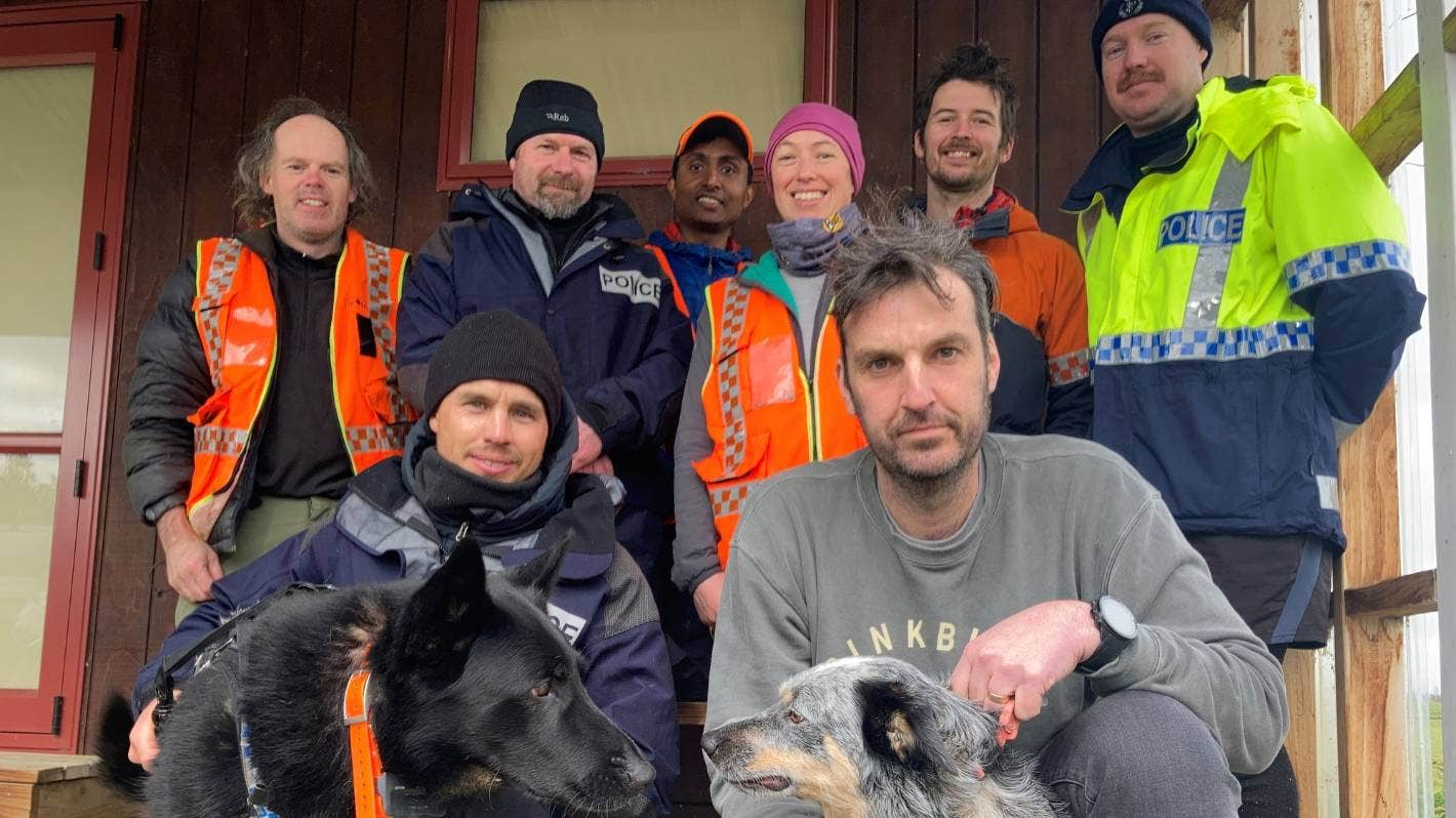
Some crazy luck came the LandSAR team’s way, and a short hour and half weather window opened at about 6:30am that allowed JD from Amalgamated Helicopters to fly in and pull us all out, along with the other SAR team still at Jumbo Hut. I can’t thank the Police and the Wellington and Wairarapa LandSAR teams enough for their selfless commitment to reaching me that night.
It’s been almost a month, and I’ve found it really hard looking back on my “day trip” to Baldy. I used to think I had the ability to turn around when the weather, an injury, or a navigation error demanded it, but clearly, this trip has shown that I don’t. I used to think that I could stick to a plan and not change things on the fly. Sticking to my intentions and knowing when to turn back is something to be proud of and being able to return to the hills is a win. I need to keep telling myself that. What I’ve learned from this whole ordeal, (at a rather high cost) is that I need to have candid and brutally honest conversations with myself when in the hills, to stick to my trip plan, and not head off on unplanned detours. No one cares if I didn’t make that spot height or to that remote hut. What family, friends, and LandSAR do care about, however, is that I make it home.
https://www.stuff.co.nz/dominion-post/news/300406274/rescued-tramper-credits-dog-for-helping-him-through-twonight-ordeal-in-tararua-range
Words of wisdom
Don’t be too proud to admit defeat and turn back. There is always going to be another day.
Thank you note
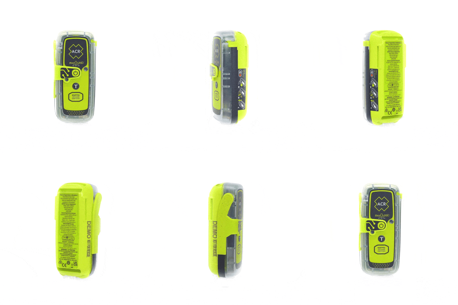
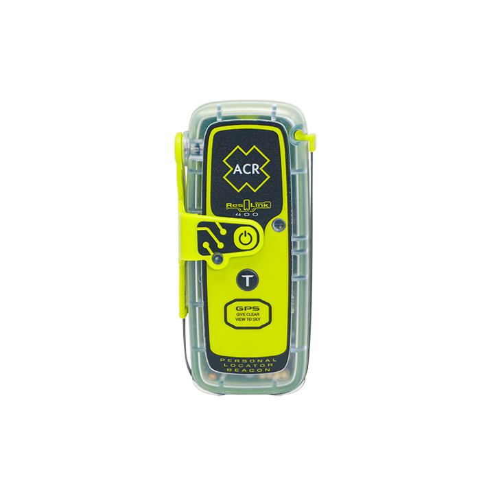
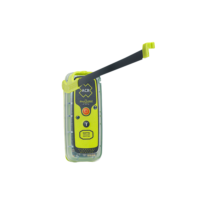
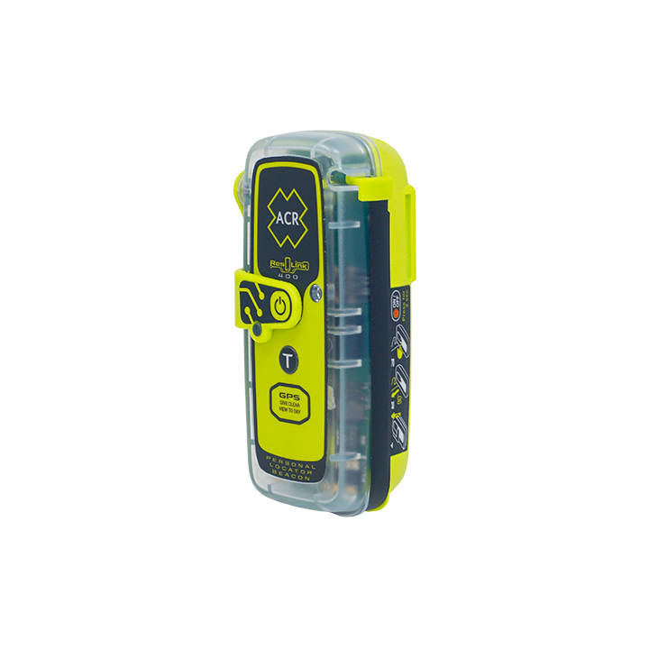
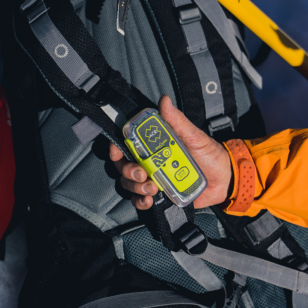
Without a doubt, my PLB ResQLink 400 saved my life. I can’t stress enough just how grateful and thankful I am that I was carrying such an amazing piece of equipment with me. I wouldn’t be typing this today if it didn’t work flawlessly.
Rescue location
New Zealand
Rescue team
Law Enforcement / Police
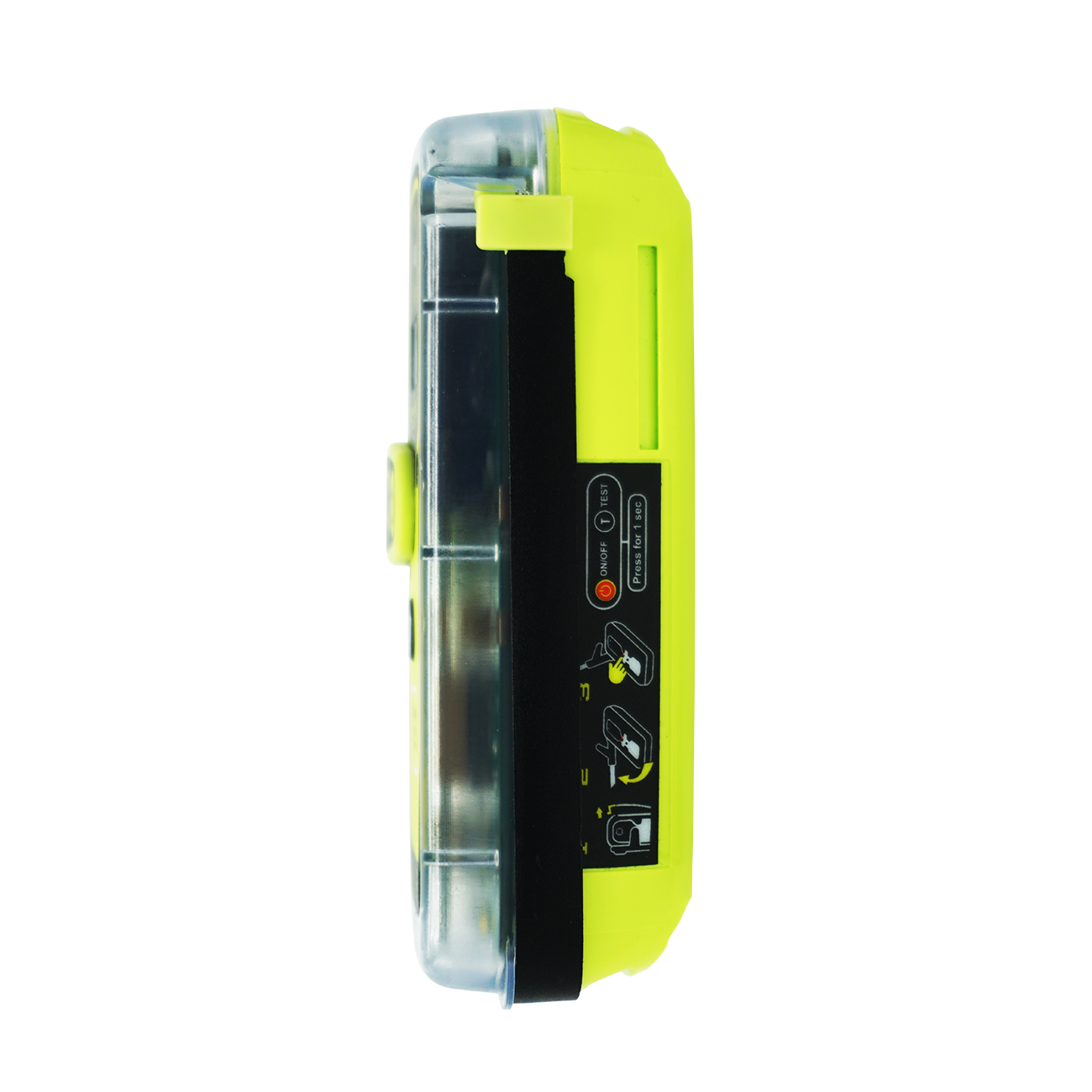
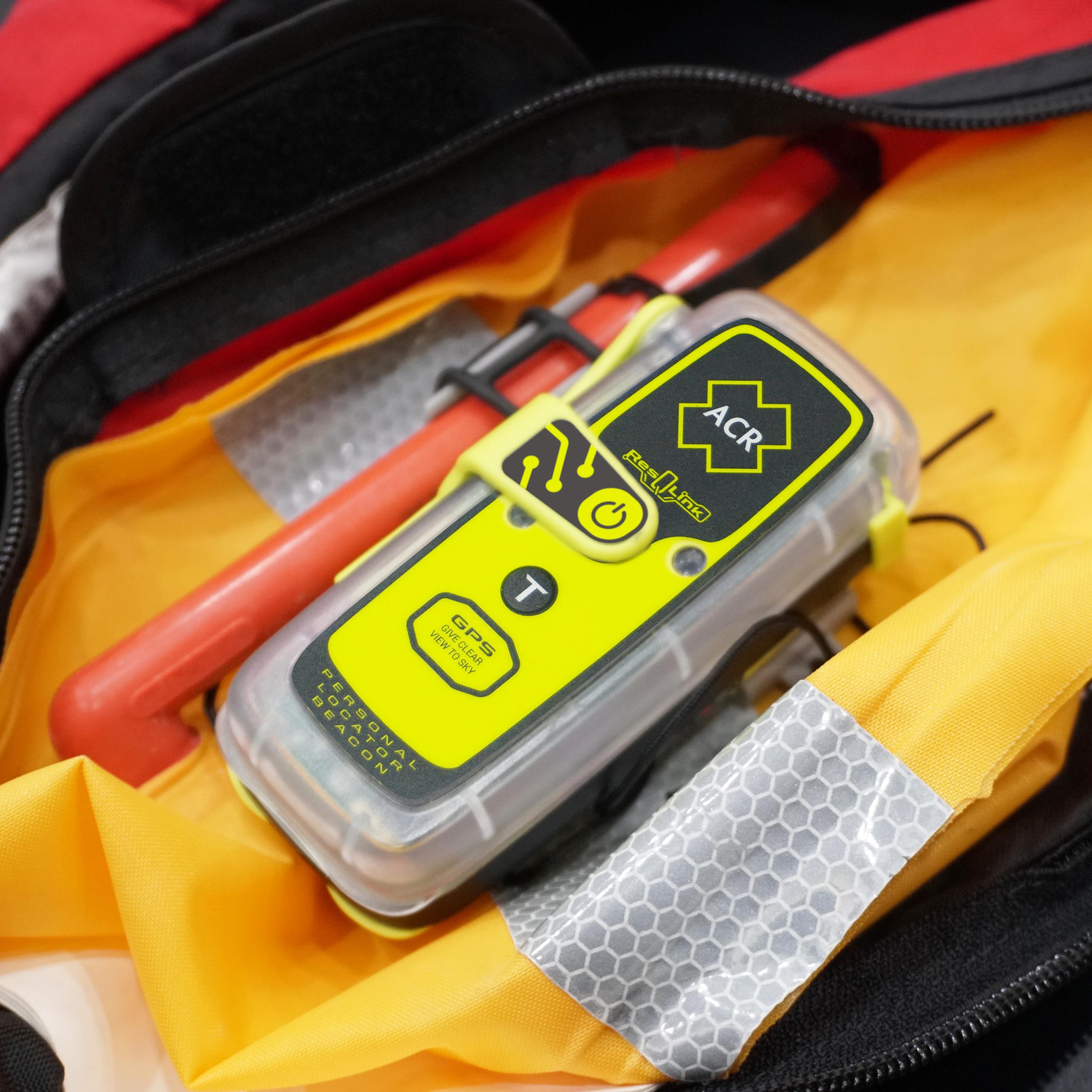
ResQLink™ 400
Go to product details$379.95 – $419.95
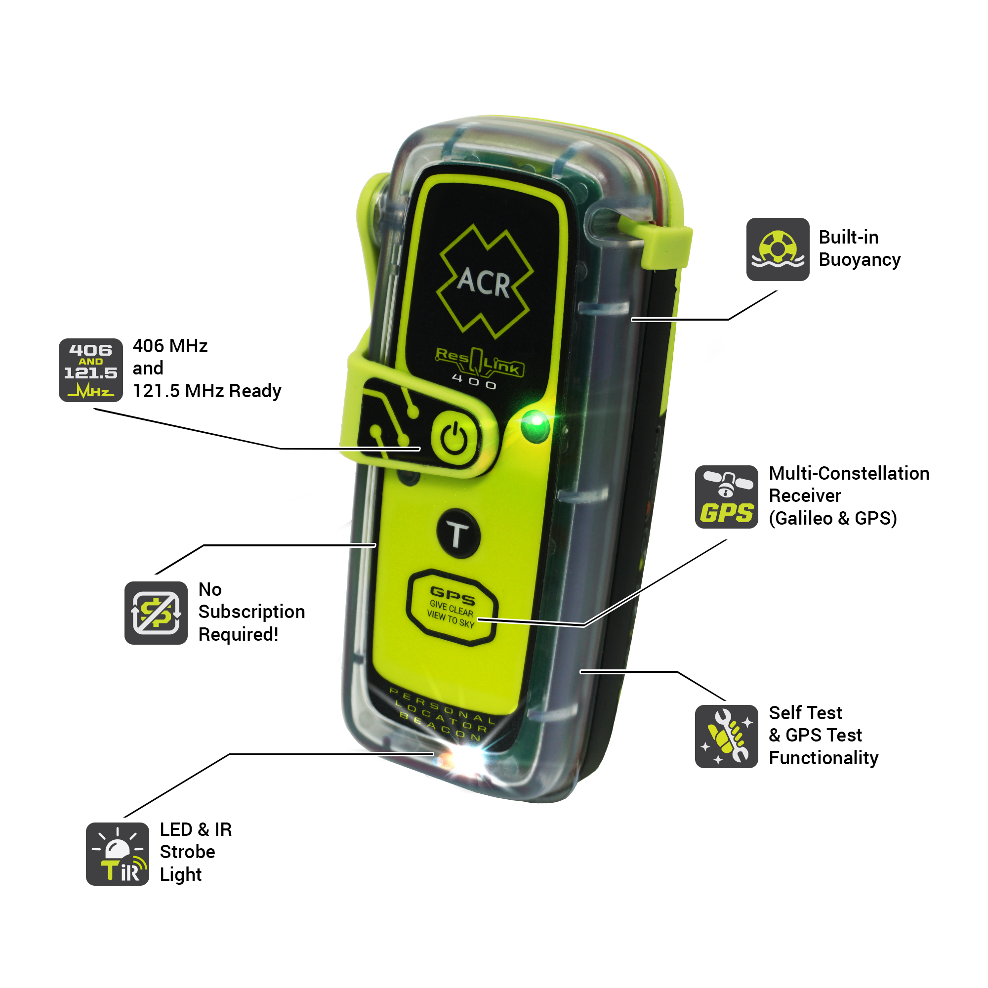
Small but resilient, the ResQLink 400 has been professionally engineered and tested to ensure it can withstand even the harshest elements. This buoyant Personal Locator Beacon requires no subscription for use and can be utilized to enhance your safety in a wide variety of environments. Whether on land, at sea, or in the air, trust that the ResQLink’s satellite precision and military durability, put rescue in the palm of your hands.
Features and Benefits:
- No Subscription Required
- GPS and Galileo GNSS
- Built-In Buoyancy
- Strobe and Infrared Strobe
- Global Coverage
- MEOSAR Compatible
- Small and lightweight
- 5-year battery life
- 24+ hours Operational Life**
- Multi-function Clip System Included
