Lives saved
0

Hiking

Mountain

Medical emergency
Thunder storm
Mt Whitney
36.5784991°N, -118.29226°W
Posted on May 2, 2018 by Anonymous
What happened?
Saturday 25 July: Departed Cottonwood Trailhead (approx. 10,000 feet)
Sunday and Monday: Hiked as high as 12,000 feet.
Monday: Scout developed signs of altitude sickness on Monday at approx. 10,000 feet
Tuesday: Scout and his father skipped the Mt. Whitney climb on Tuesday in hopes scout would get better by remaining at lower altitude.
Wednesday: Scout was worse and couldn’t hike more than a mile. Scout’s primary problem was his inability to take breaths without pain in his lungs. It was 30 miles to the trailhead and we needed to climb UP 1,000 more feet twice to get out.
1PM: Assistant Scoutmaster (ASM), a retired Coast Guard Captain, called Coast Guard (CG) Rescue Coordination Center in Alameda, CA (which covers all of California) on Satellite phone.
CG referred us to California Office of Emergency Services (CA OES), whose area we were in.
ASM passed GPS Position and all information about patient (age, condition, symptoms, vital signs, and our diagnosis (High Altitude Pulmonary Edema)
CA OES asked us to activate our Personal Locator Beacon to confirm position
CA OES said Sequoia National Park (SNP) would respond and a medevac helo was on standby
3PM: SNP sent a wonderful SNP Park Ranger on foot, who placed patient on O2 and concurred with our diagnosis and need for MEDEVAC. Called for MEDEVAC helo.
Ranger put patient on O2
3:30 PM: SNP medevac helo arrived with terrific paramedic and flight crewmember
Put patient on IV and administered 2 medications prescribed by MD
5:00 PM: SNP medevac helo flew patient scout and his father to Inyo Hospital in Lone Pine, CA.
Hospital did tests and concurred with our diagnosis
Patient released after several hours and fine once at lower altitude
Words of wisdom
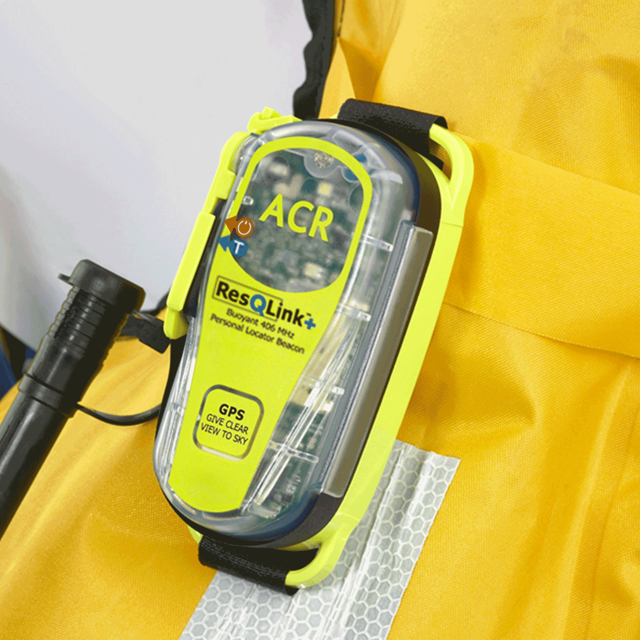
This is my 3rd ACR PLB, as I’ve replaced them as the batteries have expired, and each is smaller, lighter, and better than the rest.
Thank you note
Thank you ACR!
Rescue location
Mt Whitney
Rescue team
Local Search and Rescue
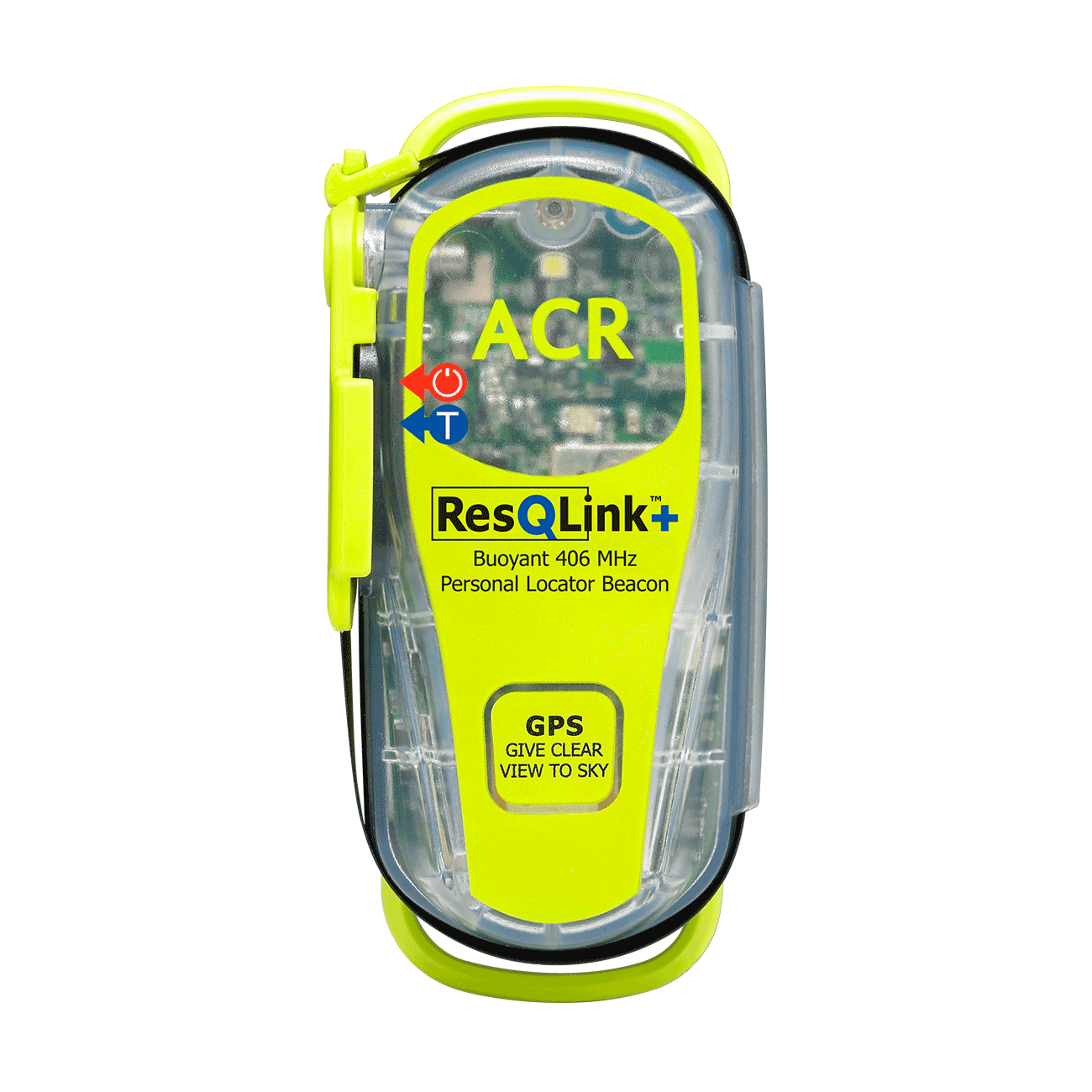
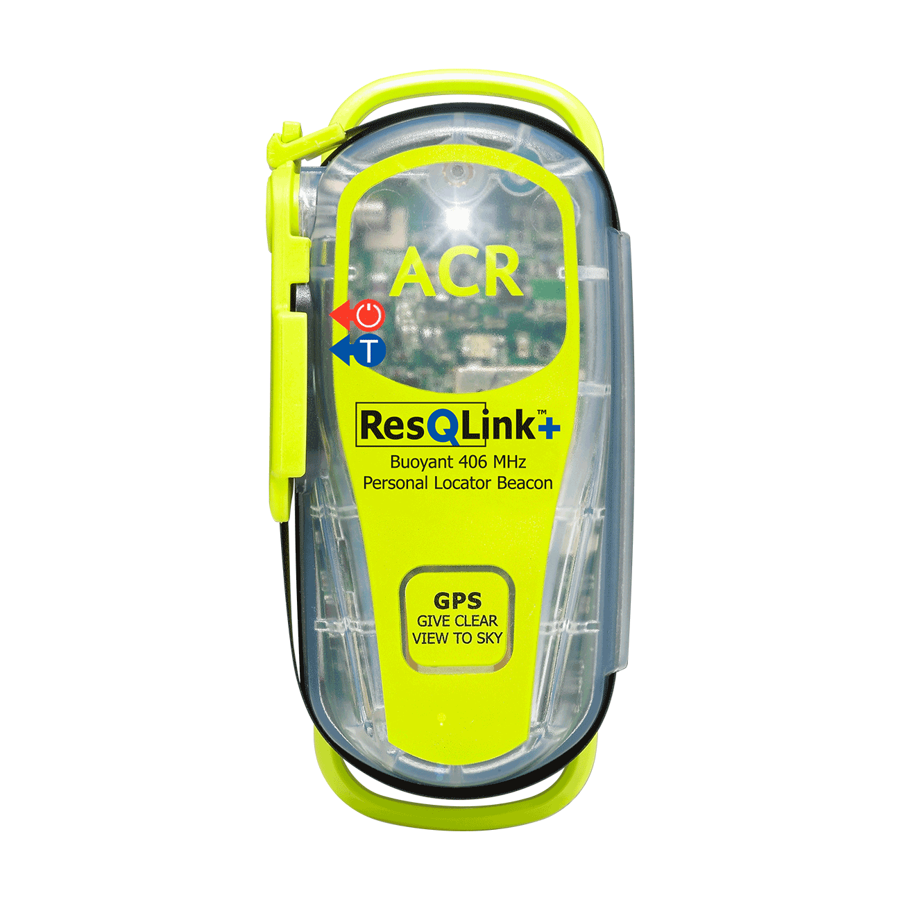
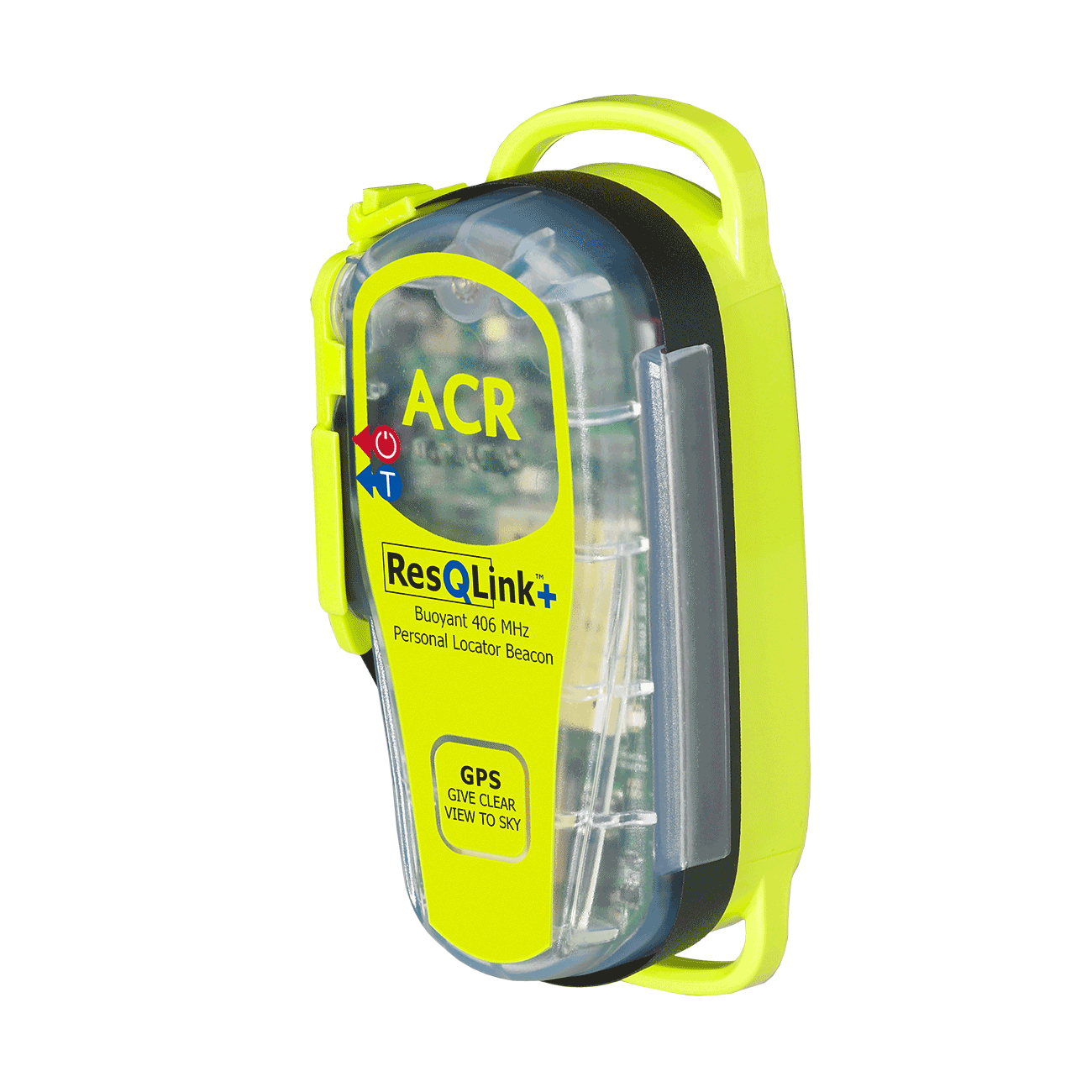
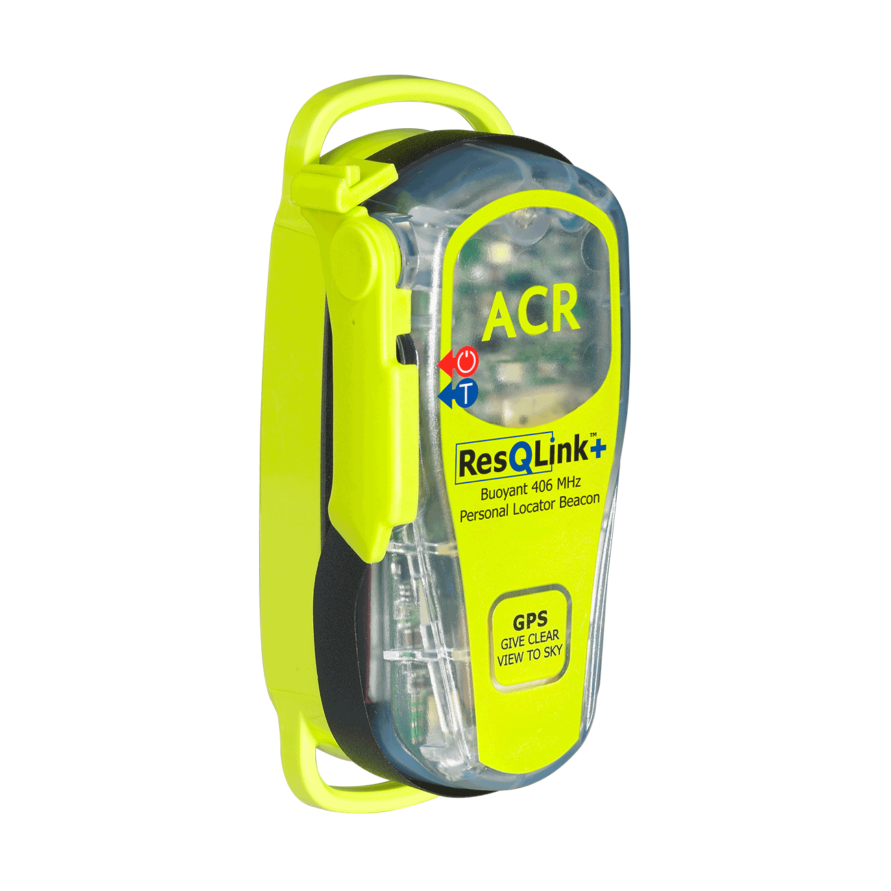
ResQLink™+
Go to product details- Buoyant
- LED strobe light
- Self Test
- 66 Channel GPS
- Easy emergency activation
- Antenna clip
Out of stock

